 The PAGE21 project has now been officially closed. The four years of research came to an end on October 31 2015, leaving only...
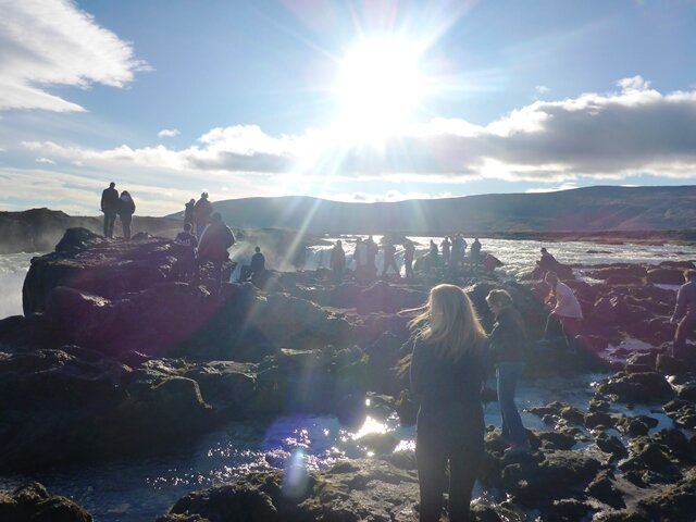
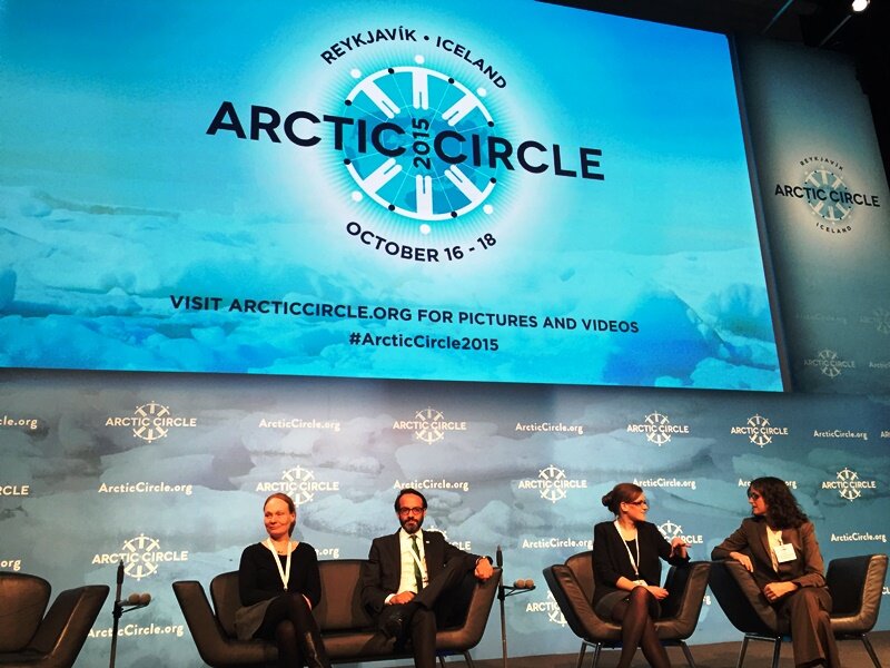 PAGE21 project was featured in a plenary session "Permafrost in the 21st century" at the 2015 Arctic Circle conference in Reykjavik,...
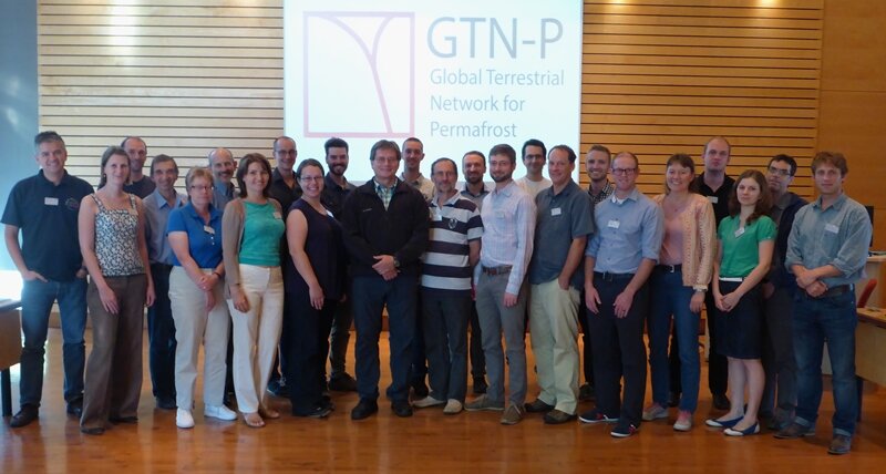 The 2nd GTN-P National Correspondents Workshop, held in Quebec, Canada, 19-20 September 2015, accomplished the data policy and...
Tomorrow it will start; My three and a half week expedition to Samoylov Island at the Lena river delta in northernmost Siberia. I will be joining a small but robust group of scientists from AWI, University of Hamburg and St. Petersburg, Russia and trying out what it really takes to be a field researcher.
In my day-to-day management work language I would be moving from the MGT over to RTD for 0,7 PMs to implement tasks under the WP2 T2.5. In this blog I will try to tell you what that really means.

I will team up with Pete (Peter Schreiber) and Niko (Bornemann) from Julia Boike’s group in AWI / Uni Hamburg and conduct a small scale lake measurement campaign, in which I will be sampling biological parameters from the lakes on the Samoylov Island in order to contribute to the understanding of the hydrology system of the island. I will also take a set of aerial pictures, so that Julia and her group will be able to update the hydrological map of the island.
The actual journey to Samoylov starts from Berlin from where we fly through Moscow to Yakutsk. From Yakutsk we will take a flight to Tiksi where we will head to a helicopter, which will take us to our final location on the coast of the Arctic Ocean.
Everything is packed and we are ready to go. The trip will be covering all in all more than 5 5oo km and will take at least a day with a stop in Tiksi.
So long
Leena
So, here we are, finally! The journey was long, starting in Berlin at noon on Tuesday and ending on Samoylov Island on Thursday around noon local time, altogether around 45 hours. Everything went though smoothly and now we are all eager to start with work.
We will be around 15 people on the island throughout July.
In addition to me, Pete and Niko, we have in the “AWI group” Hanno Meyer, Gunther Stoof, or Molo as he is called, and Waldemar. In addition we have here Lars Kutzbach from Hamburg, who is also our scientific leader in this trip and PhD students Tim, Nana and Josefine all three also from Hamburg.
In the Russian group we have Olga, Sasha, Natasha and Ira who all come from St. Petersburg.
We spent our first night in Tiksi, waiting to get a helicopter flight to Samoylov. Tiksi is an old military / harbor town, which today hosts around 4000 inhabitants. In the evening we had a nice dinner together cooked by the “boys” enjoying some local delicacies.

Early next morning we got ready for the helicopter taking us to the island itself. The view, while flying, is quite spectacular and looking around the delta, you really get the feeling that you are in the Arctic. In some parts the snow is still there and some pack ice is still to be found in Lena.

The next two days or so in Samoylov will go to getting used to the equipment already at the station and preparing the actual work. It means that I will check out the probe for the lake measurements, get assistance in calibrating the necessary sensors and get the helium balloons ready, so that I can start with the aerial pictures as soon as the good weather shows up.


, AWI")
|

|

|

|