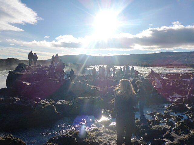
The sea is an essential part of the life and research on Herschel, as it is for every island. We often had to adapt to the different moods of the sea; sampling at night when the sea is calmer, leaving abruptly from a site when the wind picks up, getting used to wet and frozen fingers. But the sea offered us some beautiful shapes and colors, sometimes flat, mirroring the sky while some other days shivering, mixing up and down.
For our research, we relied on the power of two wonderful boats; the ARI boat, rented from the Aurora research Institute, and Christine, the Zodiac from our institute. We used them to travel along the coast to our sampling sites onshore but as well to take offshore measurements. The research conducted offshore aims at understanding the underwater processes and to relate this information to coastal erosion processes.
.") Christine, the Zodiac from the Alfred Wegener Institute (Photo: Justine Ramage).
Christine, the Zodiac from the Alfred Wegener Institute (Photo: Justine Ramage)..") Hugues and George on the ARI Boat (Photo: Isabell Eischeid).
Hugues and George on the ARI Boat (Photo: Isabell Eischeid).
Let's start at the surface ...
Saskia and Isabell were the most up to date with the clock since they had to collect near shore sea water samples every morning at 8:30 and evening at 22:00, to contribute to the long-time water monitoring started a few years ago by Michael Fritz. After collecting the samples, they measured the pH, conductivity, salinity and oxygen. The rest of the samples were prepared for further analysis in Potsdam (Dissolved Organic Carbon, Dissolved Organic Matter, Isotopes and fluorescence).
.") Taking or loosing a water sample in in a fresh evening (Photo: Isabell Eischeid).
Taking or loosing a water sample in in a fresh evening (Photo: Isabell Eischeid).
And go deeper to 10-15 m ...
One of the first task after we landed was to deploy three ADCPs (Accoustic Doubler Current Profiler). These instruments recorded underwater currents, pressure sensors, turbidity, and other water properties during the time we were on Herschel. Last year, Boris Radosavljevic, Anna Konopczak and George Tanski were granted the use of a new ADCP that was installed off Collinson Head. The other instruments were deployed offshore, at approximately 10-15 m depth on the east and west part of the island.
.") Anna and George setting up one of the ADCPs (Photo: Isabell Eischeid).
Anna and George setting up one of the ADCPs (Photo: Isabell Eischeid).
A bit deeper down to 40 m ...
George, Jan, Samuel and everyone motivated to join them went every second day for a boat tour to the offshore monitoring sites. Different sites were defined for the monitoring because we expect that Herschel works as a natural barrier for the River water flowing in from the Mackenzie River. The west side of the island is supposed to be much more marine than the east side.
They are especially interested in the fate of organic carbon, nutrients and sediments released from thawing permafrost into the nearshore zone. They were taking water samples from the surface, the first 10-15 m and down to the bottom of the sea. With the help of measurement of temperature, electrical conductivity, salinity, pH, oxygen, isotopes, DOC and fluorescence as well as with a CTD (Conductivity-Temperature-Depth-Profiler) and an ADCP (Acoustic Doppler Current Profiler), they were able to characterize the water body and evaluate the magnitude of material released from permafrost coasts and its pathway, which could later help to evaluate an eventual impact on the nearshore ecosystem. Depending on wind directions and ocean currents, permafrost carbon and sediment pathways and magnitude differ but this is not known yet. That’s what they try to find out. The water temperature was usually between 1°C and -1°C at the bottom, depending on the locations, quite cold!
.") George, Jan and Samuel, preparing for sampling (Photo: Justine Ramage).
George, Jan and Samuel, preparing for sampling (Photo: Justine Ramage).
And even deeper to 60 m ...
For retrieving important information about the seafloor of the Herschel Basin, George, Jan, Hugues and Samuel used a device called Gravity Corer. It uses heavy weights on top of a PVC pipe called liner to push the pipe into the very muddy sediments of the sea floor, at 50 m depth. Getting a core with this method is not easy, since you need relatively stable conditions in the water column so that the PVC liner is penetrating the sea floor surface vertically. After that, they had to pull the Gravity Corer plus the sediments back to the boat. Heavy work!
The two short cores form Herschel Basin are used for paleo-environmental reconstructions. It will give an idea about the sedimentation rates and the character of the sediments accumulated in Herschel Basin (kind of a natural sediment trap). This could help reconstruct the Holocene history of today's nearshore zone of the Yukon Coast.
.") Getting the core from 60 m depth in the Herschel basin (Photo: Jan Kahl).
Getting the core from 60 m depth in the Herschel basin (Photo: Jan Kahl).
Back close to shore ...
Beside the great resources provided for research, the sea brought us amazingly good fishes, mostly Arctic chars that were caught in the nets of Edward, Paden, Ricky and Sam. They would then smoke them and grill them on the barbecue. Sometimes, the fishes were followed by Ricky's amazing mini lemon pies for dessert!
.") Paden and the fishes (Photo: Maria Kröger).
Paden and the fishes (Photo: Maria Kröger).
Using the boats, we could as well go to collect fresh water from some large streams located further away from the camp, essential for our coffees, teas, and every 4th day's saunas! We used a pump to collect the water and then transferred it to large buckets.
.") Anna and Jan, collecting fresh water for the camp (Photo: Isabell Eischeid).
Anna and Jan, collecting fresh water for the camp (Photo: Isabell Eischeid).
Post written with a cooperation from Samuel, George and Saskia.


 The PAGE21 project has now been officially closed. The four years of research came to an end on October 31 2015, leaving only...
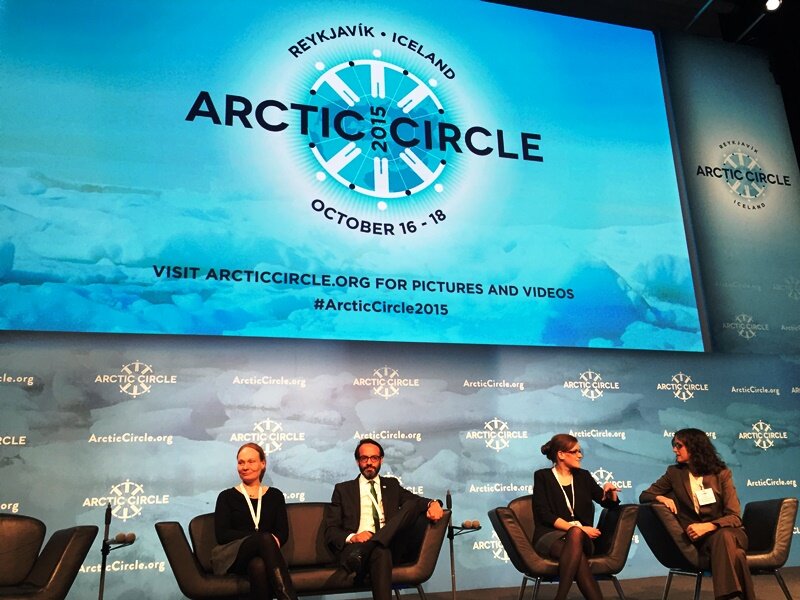 PAGE21 project was featured in a plenary session "Permafrost in the 21st century" at the 2015 Arctic Circle conference in Reykjavik,...
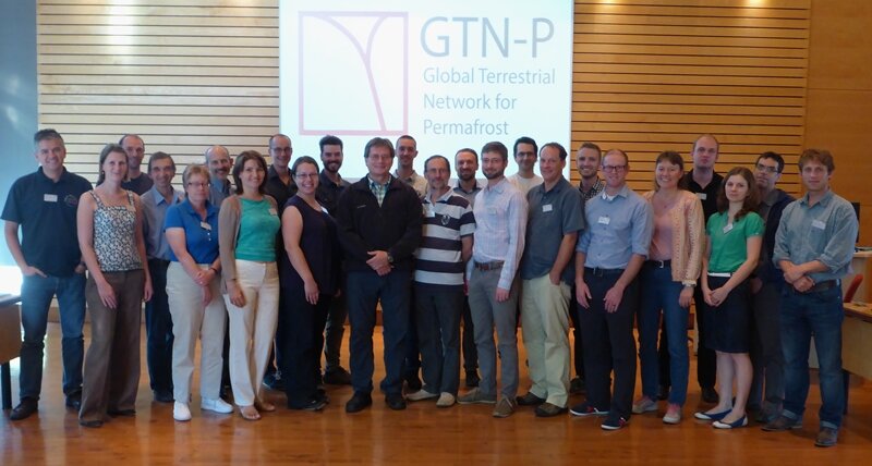 The 2nd GTN-P National Correspondents Workshop, held in Quebec, Canada, 19-20 September 2015, accomplished the data policy and...
.") Christine, the Zodiac from the Alfred Wegener Institute (Photo: Justine Ramage).
Christine, the Zodiac from the Alfred Wegener Institute (Photo: Justine Ramage)..") Hugues and George on the ARI Boat (Photo: Isabell Eischeid).
Hugues and George on the ARI Boat (Photo: Isabell Eischeid).
.") Taking or loosing a water sample in in a fresh evening (Photo: Isabell Eischeid).
Taking or loosing a water sample in in a fresh evening (Photo: Isabell Eischeid).
.") Anna and George setting up one of the ADCPs (Photo: Isabell Eischeid).
Anna and George setting up one of the ADCPs (Photo: Isabell Eischeid).
.") George, Jan and Samuel, preparing for sampling (Photo: Justine Ramage).
George, Jan and Samuel, preparing for sampling (Photo: Justine Ramage).
.") Getting the core from 60 m depth in the Herschel basin (Photo: Jan Kahl).
Getting the core from 60 m depth in the Herschel basin (Photo: Jan Kahl).
.") Paden and the fishes (Photo: Maria Kröger).
Paden and the fishes (Photo: Maria Kröger).
.") Anna and Jan, collecting fresh water for the camp (Photo: Isabell Eischeid).
Anna and Jan, collecting fresh water for the camp (Photo: Isabell Eischeid).