

 The PAGE21 project has now been officially closed. The four years of research came to an end on October 31 2015, leaving only...
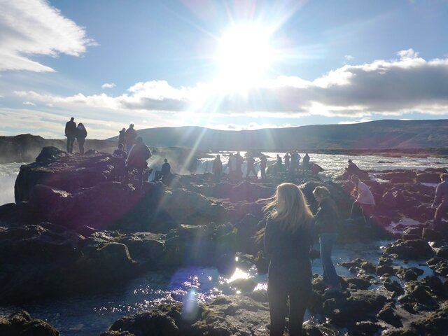
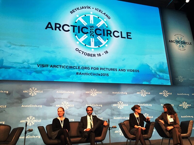 PAGE21 project was featured in a plenary session "Permafrost in the 21st century" at the 2015 Arctic Circle conference in Reykjavik,...
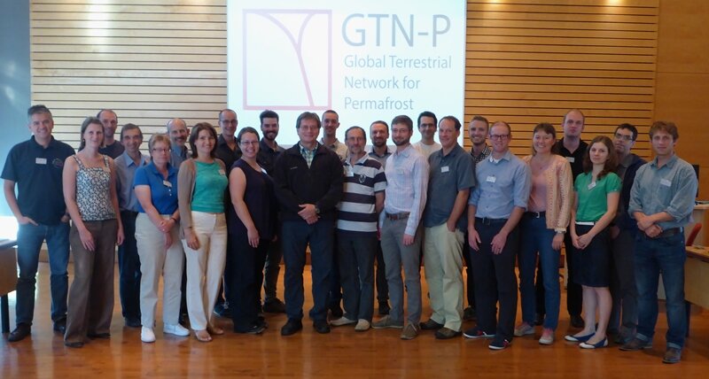 The 2nd GTN-P National Correspondents Workshop, held in Quebec, Canada, 19-20 September 2015, accomplished the data policy and...
Prof. Claude Duguay
- Details
- Category: Scientific Advisory Board
 Claude Duguay received the B.Sc. degree in physical geography from Université de Montréal, M.A. degree in GIS from the State University of New York at Buffalo, and the Ph.D. degree in remote sensing/climatology from the University of Waterloo. He has held previous faculty positions at the University of Ottawa and Université Laval in Canada, and the University of Alaska at Fairbanks (USA) before returning to his alma mater (University of Waterloo) in 2006. Claude has also held visiting scientist positions with the Canada Centre for Remote Sensing and the International Arctic Research Center at the University of Alaska Fairbanks, and more recently with the European Space Agency (ESRIN).
Claude has 30 years of experience in Arctic Remote Sensing; a topic that he became hooked on as a young undergraduate student in Montréal. He is the author/co-author of over 165 publications and more than 320 presentations on topics related to remote sensing, field process studies and numerical modeling of Arctic lakes, lake ice, permafrost and seasonally frozen ground, sea ice, and surface albedo/temperature/net radiation. Results from his research have appeared in climate assessment reports such as IPCC 2007. He is also lead author of a book published by the American Geophysical Union (AGU), entitled Remote Sensing in Northern Hydrology: Measuring Environmental Change.
Claude is a Fulbright Senior Fellow. He has been an active member of several national and international committees in the Earth and Atmospheric Sciences. He is past vice-president of the International Commission on Remote Sensing, International Association of Hydrological Sciences, and past head of the Marine and Freshwater Ice Division, International Association of Cryospheric Sciences. He is currently an active member of the Mission Assessment Group for the Cold Regions Hydrology High-resolution Observatory (CoReH2O) - an Earth Explorer candidate satellite mission of the European Space Agency – as well as the Polar Distributed Active Archive Center (DAAC) User Working Group (PoDAG), funded by NASA and operated at the National Snow and Ice Data Center (NSIDC) in Boulder, Colorado.
