

 The PAGE21 project has now been officially closed. The four years of research came to an end on October 31 2015, leaving only...
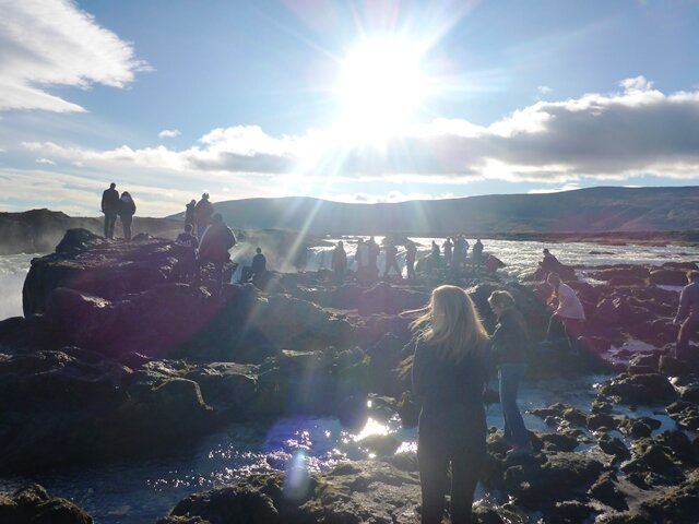
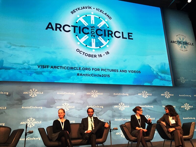 PAGE21 project was featured in a plenary session "Permafrost in the 21st century" at the 2015 Arctic Circle conference in Reykjavik,...
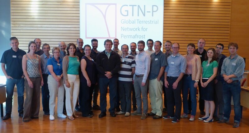 The 2nd GTN-P National Correspondents Workshop, held in Quebec, Canada, 19-20 September 2015, accomplished the data policy and...
The Institute of Photogrammetry and Remote Sensing (I.P.F.) is one of the leading research groups In radar remote sensing for soil moisture retrieval and monitoring of other land-surface hydrologic processes (wetlands, freeze/thaw status).
On behalf of EUMETSAT and as partner of various Satellite Application Facilities (Hydrology SAF, NWP SAF, Land SAF) it has developed software for near-real-time processing of MetOp ASCAT data, to obtain a global surface soil moisture product and further value-added soil moisture products. The I.P.F. has also built up processing chains for ENVISAT ASAR ScanSAR, for delivering hydrologic land surface products (1 km soil moisture products, soil moisture scaling layer, and dynamic wetland information).
TUW is coordinating work package 5 of PAGE21: Remote Sensing and multiscale integration.
Contact
phone: +43 1 58801 12221
fax: +43 1 58801 12299
TUW Homepage
Project Team
 |
|
| Dr. Annett Bartsch Leader of WP 5 (Remote sensing and multi-scale integration) |
PhD student Elin Högström
Elin´s YR Profile |

