After a 36-hours long journey and 6 different flights we smoothly landed in Inuvik on July 16th. We were all quite happy to see the colors of the north, which contrasted with the white background formed by the clouds that were surrounding us during the hours of flight.
Inuvik is a small arctic town of 3400 inhabitants, mostly Inuvialuits and it is located along the Mackenzie River. The city is reachable via one road coming from the south, the Dempster Highway or by the air.
We stayed there for 4 days to get rid of our jet lag and prepare for Herschel Island. In fact we forgot about the jet lag and just jumped into the preparations. This implied scheduling and organizing the next flights to Herschel, packing and weighing the scientific equipment, shopping for more equipment, buying the food, and cooking.
We were hosted by the Aurora Research Institute, which provided us with housing and research facilities http://nwtresearch.com/.
This was actually the first priority as defined by the rule "Safety first: Food". We shopped and chopped, reshopped and rechopped and then we fried and stewed enough meals to keep 9 to 12 people away from hunger for the next 28 days. We put all dishes into bags and froze them to better transport them to the island. And we did not loose any finger on the cutting board!
Meanwhile, we prepared the scientific equipment. This implied buying tools that we did not ship to Inuvik, getting the guns, ammunition and bear sprays, packing and weighing the boxes of equipment, preparing the boat that would bring Hugues, George, Jan and the rangers to Herschel, and so many other things.
This has been an intensive 4-days preparation but we now feel ready for a 28-days and even more intense fieldwork!


 The PAGE21 project has now been officially closed. The four years of research came to an end on October 31 2015, leaving only...
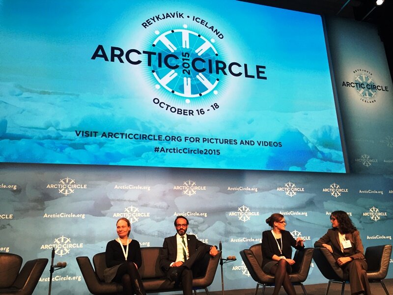 PAGE21 project was featured in a plenary session "Permafrost in the 21st century" at the 2015 Arctic Circle conference in Reykjavik,...
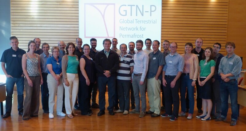 The 2nd GTN-P National Correspondents Workshop, held in Quebec, Canada, 19-20 September 2015, accomplished the data policy and...
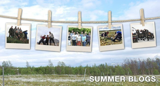
\" photo by Tarmo Virtanen") After a large amount of “To-Do-Lists”, many Expedition Meetings and an extensive packing of 750 Kg of equipment, the COPER (COastal Permafrost ERosion) group is ready for a new Expedition to Herschel Island!
After a large amount of “To-Do-Lists”, many Expedition Meetings and an extensive packing of 750 Kg of equipment, the COPER (COastal Permafrost ERosion) group is ready for a new Expedition to Herschel Island!
 On Herschel, Isla Myer-Smith and her team from Edinburgh will join us, as well as Gustav Hugelius and Matthias Siewert from Stockholm University, Tarmo Virtanen from Helsinki University, Patrick Potter from the Geological Survey of Canada and the park rangers from Qikiqtaruk-Herschel Island Territorial Park.
")
")
")