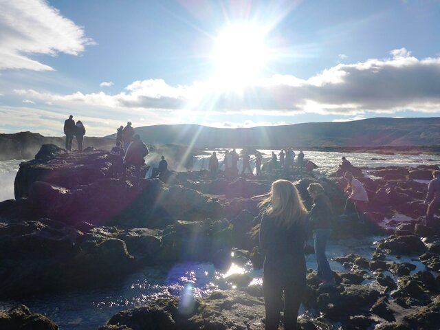
Saturday, August 4, 2012
Our trip's objective is to answer a series of questions related to the past and future directions of coastal and climatic evolution of the Yukon coast. Everyone in our team is looking at it from different points of view and we hope to enhance our knowledge and see that our research leads to a better understanding of the past, present and future of the region.
Juliane is focusing on climate reconstruction using information recorded in the sedimentary record; in other words looking at pollen that is deposited at the bottom of arctic lakes. Juliane spends her time taking sediment cores and familiarizing herself with plants characteristic of the area.
Steffi is interested in characterizing and quantifying the amount of carbon released from coastal thermokarst features, while Boris is interested in what happens to sediments and carbon in the nearshore.
George and Micha are sampling massive ground ice and ice wedges at different locations along the coast for isotope geochemistry. These analyses will hopefully say something about the climate history.
Jared is using high accuracy GPS measurement to document thaw slump headwall retreat, and also to survey the dynamic shoreline of Herschel Spit.
In addition Michael Krautblatter and Michael Angelopoulos are using geophysical methods, such as ground penetrating radar and electrical resistivity, to gain insights into subsurface permafrost dynamics. Dave is our man for everything. He is really good at constructing the necessary equipment, like the sides can mount he built together with Boris, or fitting Steffi's flume with sensors. He is also not afraid of washing the dishes, but his best skill is keeping us all in a good mood. Wayne and Hugues are managing the fieldwork and support us with their knowledge and experience acquired over many field expeditions.
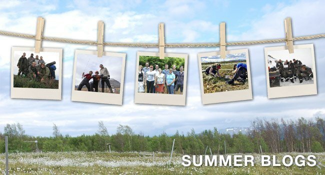
") Herschel Island spit with our little village comprised of about 16 mostly historical buildings. (photo: B. Radosavljevic) Herschel Island spit with our little village comprised of about 16 mostly historical buildings. (photo: B. Radosavljevic) |
 on our boat with our captain Dave and optimistic looking Boris and Michael Krautblatter. (photo: G. Tanski)") First steps with the side scan (on the left) on our boat with our captain Dave and optimistic looking Boris and Michael Krautblatter. (photo: G. Tanski) First steps with the side scan (on the left) on our boat with our captain Dave and optimistic looking Boris and Michael Krautblatter. (photo: G. Tanski) |
") Jule surveys the Vegetation on an ice-wedge polygon. (photo: M. Fritz) Jule surveys the Vegetation on an ice-wedge polygon. (photo: M. Fritz) |
") Michael A. got so excited about his field site that he was brave enough trying to cross an old mudflow with all the instruments and cables on his back. Dave, our man for everything, turned out to be a great mud rescuer, too. (photo: M. Krautblatter) Michael A. got so excited about his field site that he was brave enough trying to cross an old mudflow with all the instruments and cables on his back. Dave, our man for everything, turned out to be a great mud rescuer, too. (photo: M. Krautblatter) |
") Boris taking a sound velocity profile in Pauline Cove. (photo: S. Weege) Boris taking a sound velocity profile in Pauline Cove. (photo: S. Weege) |
") Michael Fritz and George sampling massive ground ice in a thaw slump with the chain saw. (photo: S. Weege) Michael Fritz and George sampling massive ground ice in a thaw slump with the chain saw. (photo: S. Weege) |
Stefanie


 The PAGE21 project has now been officially closed. The four years of research came to an end on October 31 2015, leaving only...
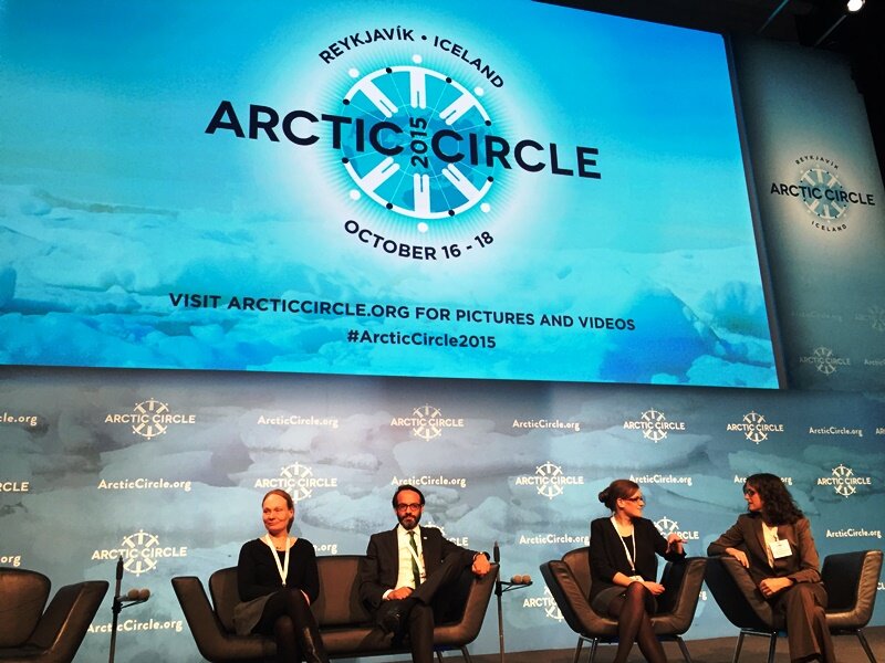 PAGE21 project was featured in a plenary session "Permafrost in the 21st century" at the 2015 Arctic Circle conference in Reykjavik,...
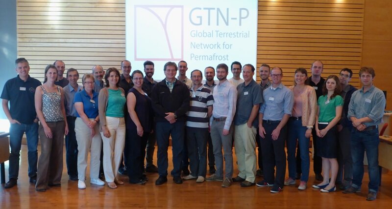 The 2nd GTN-P National Correspondents Workshop, held in Quebec, Canada, 19-20 September 2015, accomplished the data policy and...
") Herschel Island spit with our little village comprised of about 16 mostly historical buildings. (photo: B. Radosavljevic)
Herschel Island spit with our little village comprised of about 16 mostly historical buildings. (photo: B. Radosavljevic) on our boat with our captain Dave and optimistic looking Boris and Michael Krautblatter. (photo: G. Tanski)") First steps with the side scan (on the left) on our boat with our captain Dave and optimistic looking Boris and Michael Krautblatter. (photo: G. Tanski)
First steps with the side scan (on the left) on our boat with our captain Dave and optimistic looking Boris and Michael Krautblatter. (photo: G. Tanski)") Jule surveys the Vegetation on an ice-wedge polygon. (photo: M. Fritz)
Jule surveys the Vegetation on an ice-wedge polygon. (photo: M. Fritz)") Michael A. got so excited about his field site that he was brave enough trying to cross an old mudflow with all the instruments and cables on his back. Dave, our man for everything, turned out to be a great mud rescuer, too. (photo: M. Krautblatter)
Michael A. got so excited about his field site that he was brave enough trying to cross an old mudflow with all the instruments and cables on his back. Dave, our man for everything, turned out to be a great mud rescuer, too. (photo: M. Krautblatter)") Boris taking a sound velocity profile in Pauline Cove. (photo: S. Weege)
Boris taking a sound velocity profile in Pauline Cove. (photo: S. Weege)") Michael Fritz and George sampling massive ground ice in a thaw slump with the chain saw. (photo: S. Weege)
Michael Fritz and George sampling massive ground ice in a thaw slump with the chain saw. (photo: S. Weege)